
“Before the first floating bridge opened in 1940, Bellevue was famous for its annual Strawberry Festival and little else. Settled by a handful of pioneers in the late 1800s, it grew slowly into a community huddled around a few shops on Main Street.”[1]
Before the bridge Bellevue, today a city of over 123,771 people, was a small rural farming community of only 6,000.[1] [2]
“To the south, Bellevue was not really a town at all in 1939. “There was no ‘there,’ there,” joked locals, thinking of the handful of stores along Main Street and the endless fields of berries and vegetables. Bellevue was a sprawling, unincorporated district best known for its Strawberry Festival. Along the lakeshore, there were a few elegant homes amid the rustic summer cottages of Medina and the Points — the Gold Coast of the future.”[3]
_at_Leschi_Park,_circa_1892.JPG)
“Lake Washington is beautiful but sometimes a nuisance. Seattle's main gateway to the east is North Bend on the Sunset Highway, until recently a 42–mile ride. The road could have been 14 miles shorter had not Lake Washington lain athwart the way.”[4]
In the 1930s the only way to cross Lake Washington was by ferry. Before the bridge it took up to an hour longer to drive the extra 21 miles around the lake to Seattle from the Eastside.[5]
“Driving to [Mercer Island] from Seattle meant going the long way through Renton, but the 22–mile trip was still preferable to a passenger ferry.”[6]
Prior to the completion of the bridge Mercer Island was such a rural development that it still had a deer hunting season and a population of 1,500. 10 years after the bridge the population had increased over 300% to 5,000 and in 2008 the population was estimated at 24,163.[1] [3] [7]
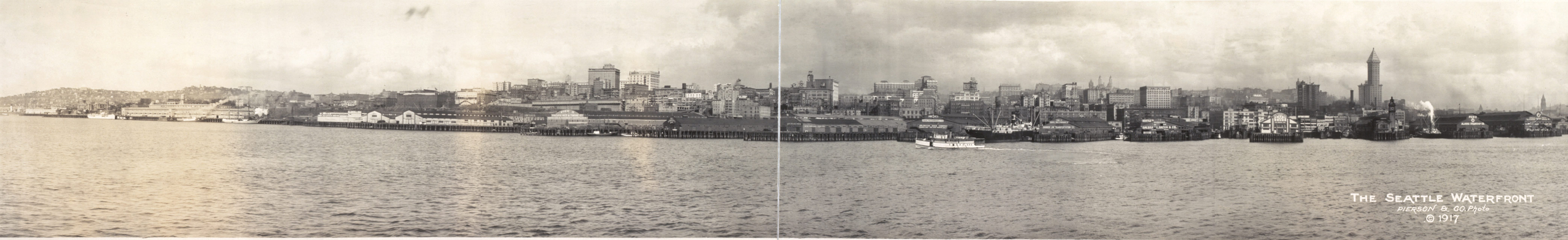
Panoramic Image of the Seattle Waterfront 1917
Required Plugins
The following plugins are required to correctly display this web page: